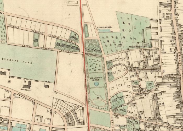
The Foundation Stone * for the Royal Infirmary was laid on 22nd July 1852 - about mid-way through the active life of the Law incline. However, it is still funny to see a map of the area which shows the line but not the hospital. The hospital was built on the west of Constitution Road opposite the bleaching green. This appears to have a circular pond in one of the steeper parts of Dundee but the OS map of 1857-8 shows this as a group of trees: the curling pond which is shown further up the hill, however, is also on a fairly steep hill.
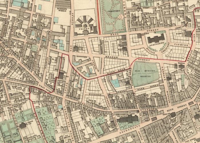
The maps came from the National Library of Scotland web-site * and date from 1846.
Please feel free to contact me by e-mail at elliottsimpson@hotmail.com
* these links no longer connect
August 2006